GameArtAtlas

Living maps

All styles

Dense settlements and terrain remain legible from a strategic viewpoint.

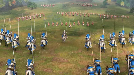
A large formation of blue-mounted cavalry advances across a grassy field, with repeated horses and flags creating a readable mass beneath a low viewing angle.
Age of Empires IV

Blue cavalry formation

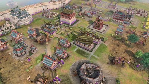
An ornate Chinese palace complex fills an elevated view, with green roofs, carefully repeated buildings and warm pink ground organizing the settlement into a miniature city.
Age of Empires IV

Chinese palace complex

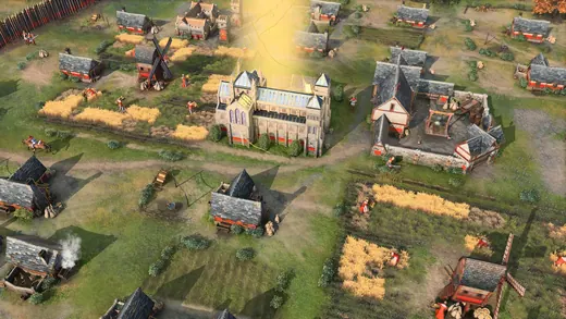
A medieval European village spreads around a tall church and rectangular fields, with an overhead camera showing the relationship between architecture, roads and agriculture.
Age of Empires IV

Medieval farming village

Yellow infantry stand beside green-armored war elephants on dry terrain, with an elevated view using faction color and unit scale to separate the formations.
Age of Empires IV

Infantry and elephants

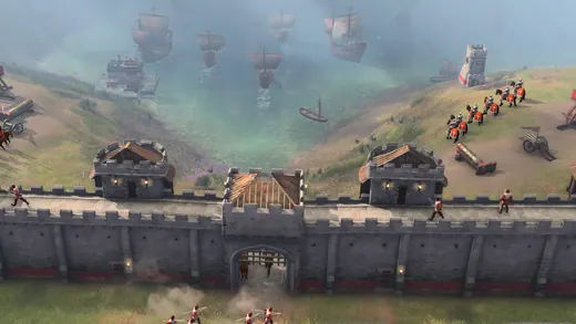
Stone coastal fortifications overlook a fleet of sailing ships through pale mist, with repeated towers and masts creating a layered historical military landscape.
Age of Empires IV

Coastal fortifications

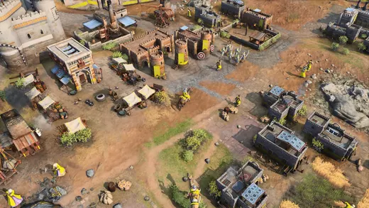
A golden desert settlement fills an isometric view with flat-roofed houses, markets and monumental buildings, using warm masonry to unify a dense architectural pattern.
Age of Empires IV

Golden desert city

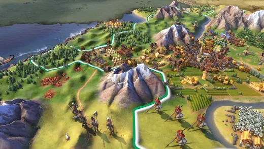
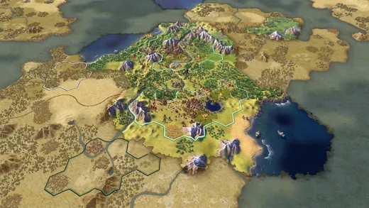
An expansive green strategy map shows miniature cities, winding rivers and layered mountains, with exaggerated terrain and colorful landmarks making continental scale approachable.
Sid Meier's Civilization VI

Green continental map

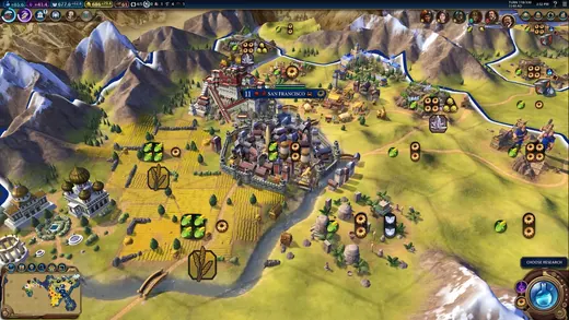
Urban clusters spread across a yellow-green plateau beneath steep mountains, with an elevated map camera and compact interface framing farms, roads and settlement boundaries.
Sid Meier's Civilization VI

Plateau settlements

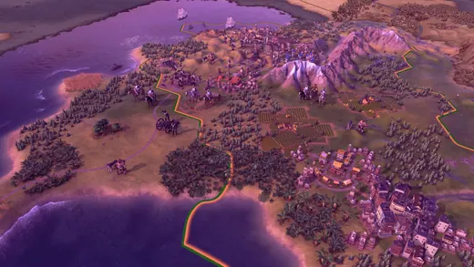
A coastal city sits within a purple-pink dusk landscape, with miniature buildings and stylized terrain giving the strategic map a warm illustrated character.
Sid Meier's Civilization VI

Purple coastal dusk

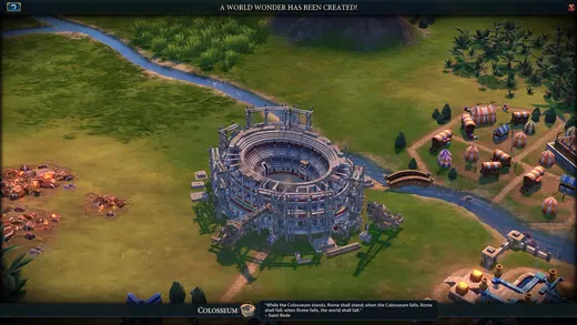
A stone Colosseum dominates green fields beside a river, with its circular tiers presented as an oversized landmark among smaller terrain details.
Sid Meier's Civilization VI

Colosseum landmark

Explored terrain and scattered mountain ranges emerge from parchment-colored map edges, with drawn fog and miniature geography making discovery part of the visual style.
Sid Meier's Civilization VI

Parchment exploration edge

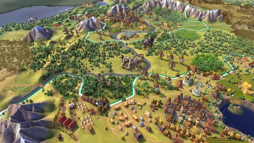
A bright verdant landscape contains dense cities, forests, farms and a winding river, with a distant overhead camera emphasizing patterned terrain and regional connections.
Sid Meier's Civilization VI

Verdant city regions

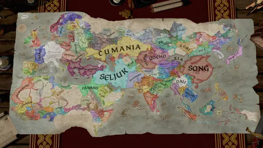
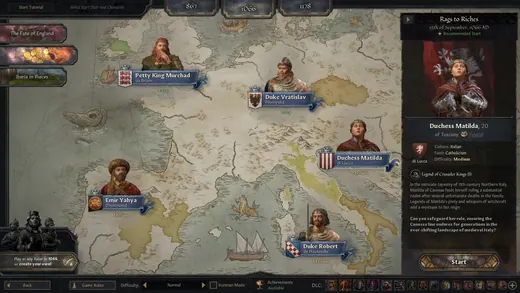
A historical political map divides broad regions into colored territories and labeled realms, with parchment texture and restrained symbols emphasizing the scale of dynastic rule.
Crusader Kings III

Political parchment map

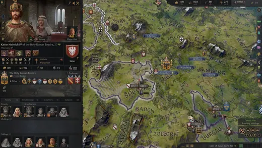
A green territorial map is paired with a column of detailed ruler portraits, connecting geographic borders with individual faces, clothing and political identity.
Crusader Kings III

Rulers and territory

A cream-colored political map sits behind character portraits and an event panel, combining subdued cartography with the intimate visual language of illustrated historical drama.
Crusader Kings III

Historical event map

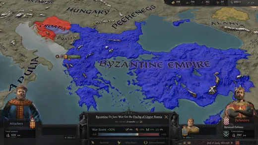
Blue Byzantine territory stretches around the Mediterranean on a labeled map, with clear borders and muted terrain presenting empire as a broad geographic shape.
Crusader Kings III

Byzantine territory

Five medieval rulers stand together in richly colored robes against a dim background, with distinctive crowns, fabric and facial features separating their cultural identities.
Crusader Kings III

Ornate medieval rulers

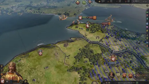
A hilly coastal city and military units appear beside blue water from a high camera, with extensive map controls framing the textured miniature landscape.
Crusader Kings III

Coastal strategy landscape

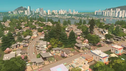
A green residential suburb spreads between parks and curving streets beneath a pale sky, with a distant skyline revealing the city's larger scale.
Cities: Skylines

Green residential suburb

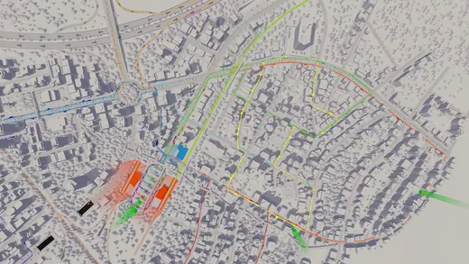
A pale gray urban map carries green and blue traffic routes, using stripped-back building forms and strong colored lines to expose the city's transport structure.
Cities: Skylines

Traffic route overlay

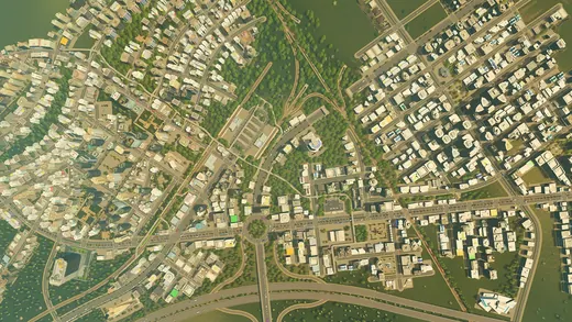
A dense city grid fills an elevated daylight view, with repeated rooftops and roads creating a tightly patterned landscape of concrete, glass and greenery.
Cities: Skylines

Dense city grid

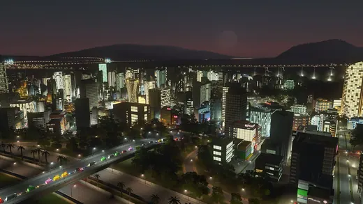
Warm windows illuminate a city at night beneath a purple horizon, with repeated streets and buildings producing a broad field of urban light.
Cities: Skylines

Warm nighttime city

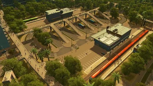
A railway station and red train roofs sit beside green parkland in sunlight, with the elevated camera showing infrastructure as a distinct architectural district.
Cities: Skylines

Rail station district

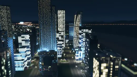
Tall glass skyscrapers glow beside deep blue water at night, with illuminated windows and reflections turning the skyline into a layered vertical composition.
Cities: Skylines

Glowing waterfront towers